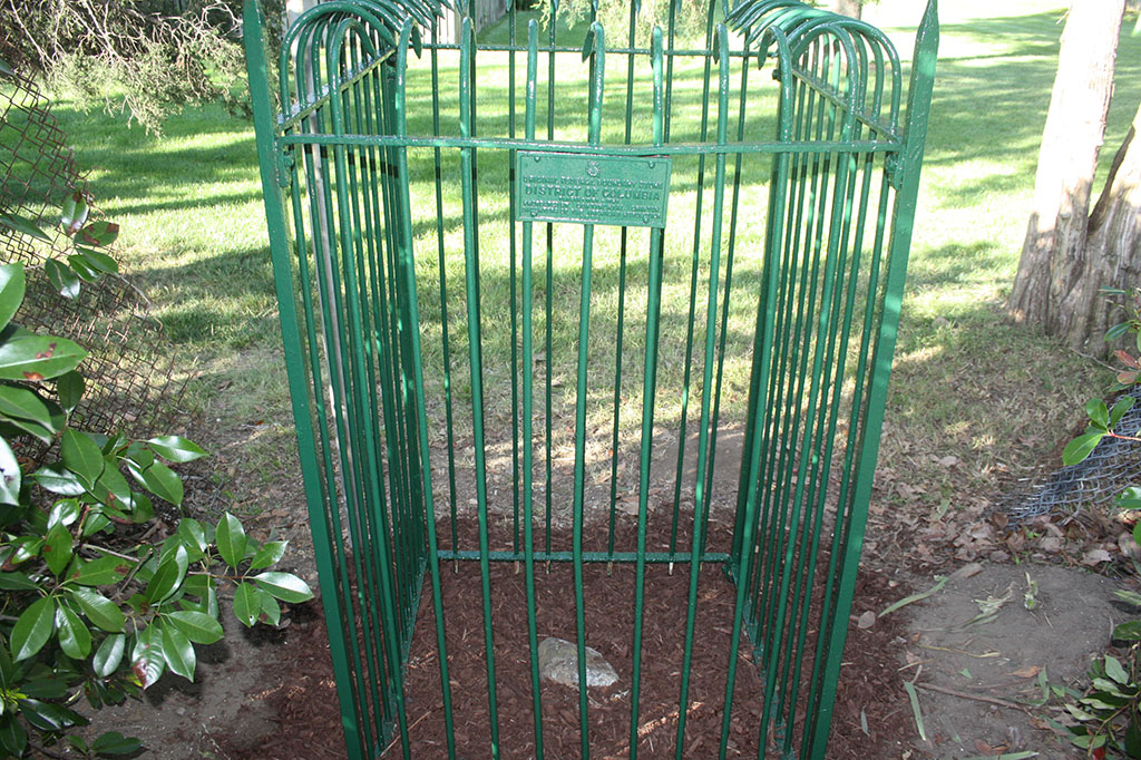
Fairlington is the home of Southwest #4, one of 40 milepost stones that mark the original District of Columbia. Located at King Street, between Wakefield and the entrance ramp to I-395, Boundary Stone Southwest #4 was placed in 1791. In an inspection more than a century later, in 1897, the stone was reported to be in much the same condition as it appears today: “broken off at the ground… The stump, plow-scratched is in place, standing in the field north of the road and about four feet from the fence.”
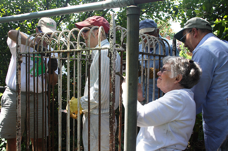
In 1915, the Daughters of the American Revolution (DAR) placed a protective fence around it and maintained it. In 1970, the stone was nearly lost and buried under Route 7 as it was widened. It was rescued, however, and reset 13 feet north of its original location. (Source: Gayle T. Harris, ‘The Fairlington Boundary Stone Southwest #4,’ 2002.)
The FHS has worked to maintain the Boundary Stone site in cooperation with the Nation’s Capital Boundary Stones Committee (NACABOSTCO). In 2012, a team scraped and repainted the fence, and cleaned the area around the stone. Fairlington Mews subsequently installed a gate in their perimeter fence to provide easy access to the site.
Click here for a road trip map of the Virginia Boundary Stones.
The Boundary Stone is on the National Register of Historic Places; you can read the stone’s narrative here. The group listing for all of the boundary stones is here. For more information about Boundary Stone location, status, and recent news, go to www.boundarystones.org.